INTRAKAT Rural Broadband
In the framework of the implementation of the project “Development of Broadband Infrastructures in Rural (White) Areas of the Greek Territory and Services for the Exploitation-Development of the Infrastructure via PPP” of the Information Society (ΚΤΠ ΑΕ), in February 2015 INTRAKAT entrusted Terra the “Preparation and Delivery of the Documentation Study for the Construction of the Project”.
More specifically, Terra undertook to carry out a part of the project, which includes the following services:
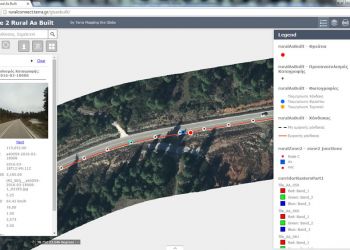
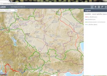
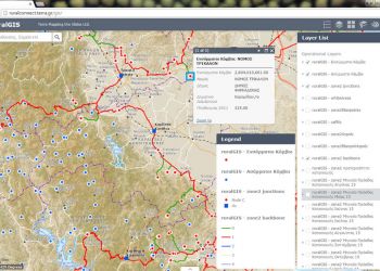
Geoinformatics Services: The purpose of the service is to visualize the infrastructure in a Supervisory WebGIS Application that (a) displays the construction priorities and progress of the project on a monthly and total basis and (b) monitors the built infrastructure with entity identification capabilities including photographic documentation. Additional benefits resulting from the implementation of the application are the creation of a single infrastructure database for visualization purposes and a unique reference and information point that ensures the integrity and security of the data
Data Migration Modeling: definition and modeling of the geodatabase and geodatabase update with the constructed entities
Topographic tasks: Geometric documentation, collection of geometric and thematic information and processing
Support Services: Support services on a yearly basis for the above tasks


